How To Interpret A Weather Report
By Adelia Ladson
You've grown-up with weather reports all of your life but when you look at a weather forecast, do you really know what it means. Do you actually understand what the weatherman is telling you? Here's a quick checklist of what you need to know.
1. Watch vs Warning

When bad weather is approaching, it's really important to know the difference between a "watch" being issued and a "warning" being issued, especially when it comes to events like tornadoes and flash floods. When the National Weather Service issues a "watch", it means that the weather conditions are favorable for a dangerous weather event. It will happen within the next 12 to 36 hours if it's going to happen. When a "warning" is issued, the dangerous event is either happening or will be in the next 30 minutes to an hour.
So, in layman's terms, and folks, this is the way I use to remember it. (I did not come up with this clever differentiation but really wish that I could take credit for it!) Here's the taco breakdown:
- Watch: We have all the ingredients to make tacos.
- Warning: We're having tacos right now!
2. Highs and Lows
 On a weather map, you'll see a blue "H" designating high atmospheric pressure and a red "L" that designates low atmospheric pressure. Atmospheric pressure is the force that the atmosphere presses down on a specific location on the planet. This is based on the weight of the atmosphere in the specific location and that weight is based on elevation. The lower the elevation, the more atmosphere is above you and the weight is heavy, so the atmospheric pressure is higher. At higher elevations, the atmospheric pressure is lower. Water vapor can also make a difference in the atmospheric pressure of any given location. Air that contains a lot of water vapor is lighter and less dense than dry air, leading to low atmospheric pressure while very dry air can lead to high atmospheric pressure. All of these variations are measured with a barometer and that is what is represented on the weather map with the "H" or "L".
So, the most important thing that you should know is that the map is telling you which areas are going to be prone to good weather and which will be prone to bad weather for the forecasted period of time. The blue "H" means you'll most likely be having fair weather and the red "L" means there's a possibility of clouds and storms forming.
3. Front to Front
Let's talk fronts. There are three types: warm, cold and stationary. Each of them has its own symbol for the weather map. Here's a run-down on what each type of front consists of and what it brings to your weather forecast.
- You get a warm front when a mass of warm air moves in to replace a mass of cold air and the point of transition is designated on the map by a red line with half circles pointing in the direction of the cold air that's being replaced. Warm fronts can bring some rain, at first, followed by warm temperatures and clear skies.
- You get a cold front when the opposite happens. A mass of cold air moves in to replace a mass of warm air. This transition point on the weather map is shown by a blue line with triangles pointing in the direction of the warm air that's being replaced. Cold fronts can bring torrential rain, wind and colder temperatures.
- When neither cold nor warm front gives way, you get what is called a stationary front, which is designated by using alternating warm and cold front symbols. A stationary front is infamous for bringing rain that just stays in one spot for long periods of time, which can cause flooding.
 |
 |
 |
4. Rain Chances
One of the things that I want to know pretty much everyday is what the temperature is going to be throughout the day and is there a chance of rain. I think, however, there's some confusion on what those precipitation percentages actually mean.
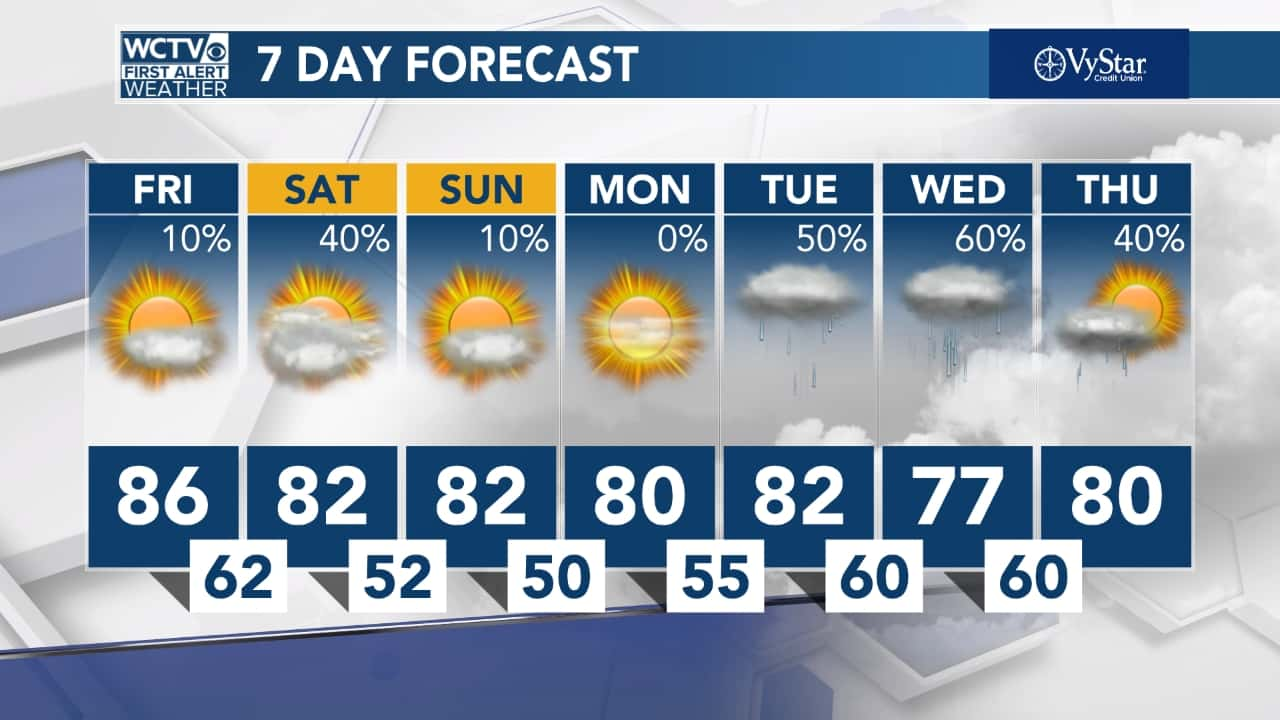
- The chance of rain percentage is actually reporting the likelihood that a location within your forecast area will see measurable precipitation during a period of time that's specified by the weather man.
- This does not mean that all of the forecast area will definitely see precipitation, but that it will fall somewhere or multiple locations within the area.
- So, when the forecast says that there's a 60% chance of rain, it means that there's a 60% chance that a measurable amount of rain will fall somewhere in your area. Maybe you'll get it, maybe you won't. Yeah, it is vague!
With that being said, be aware that a ten-day or longer forecast is only right approximately half of the time, while a five day forecast can predict the weather approximately 90% of the time.
Weather Radios
A weather radio is an essential emergency preparedness tool that receives up-to-the-minute information on the weather conditions in an area. It receives the information from the National Oceanic and Atmospheric Administration (NOAA), which is the United States’ environmental intelligence agency. NOAA’s National Weather Service offices broadcast the weather conditions on an automated, 24-hour network of radio stations across the United States. When the weather conditions are adverse, it issues severe weather radio statements, watches and warnings. A weather radio will receive the alerts and signal you with an alert sound, followed by the official report.


